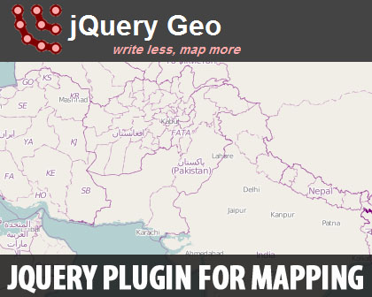
jQuery Geo is a jQuery for open-source geospatial mapping plugin for the popular framework that provides an easy-to-use API for map/geolocation related actions.
Geospatial mapping jQuery plugin from Applied Geographics developed with the intention of making spatial web mapping significantly simpler than it may initially seem. We would like to point out the term “open-source” to explictly state that Google, Bing, MapQuest, Yahoo! & Esri are generally free but not open.

- show mapping data and handle direct user interaction with the map
- use geospatial functions like calculating bounding boxes, measuring the distance between geometries, etc.
The maps created are mobile-friendly and have lots of built-in methods for customization.
jQuery Geo is very well-documented and supported with a bunch of examples.
Requirements: jQuery
Compatibility: All Major Browsers
Website: http://jquerygeo.com/
Demo: http://jquerygeo.com/1.0a3/
Download: https://github.com/AppGeo/geo